- School District U-46
- Our Boundaries
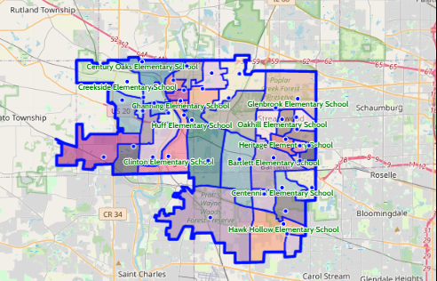
Interactive District Boundary Map
-
Every school in School District U-46 has a boundary area. A boundary area determines which students in a geographical area are eligible to attend a specific school. More specifically, each residential address in the District is linked to a boundary area. CLICK HERE to review the boundaries for elementary, middle, and high schools, using our interactive boundary map.
You can also refer to the School Locator tool and enter your address to determine your school boundary area.
Disclaimer: While every effort has been made to provide accurate and current information - should there be any discrepancy, School District U-46 has the final word.
Copyright © 2022 Baragar Systems. All rights reserved
Click on the map image to view the interactive boundary map or CLICK HERE.


